Description of the Hub from the Master Plan The Hub is composed of pavement bays organized around a central access point. The bays provide an event space that can be used year-round without damaging or impacting more fragile landscapes and are proposed to be surrounded by a cathedral- like space of tall pine trees. This proposed pine forest, potentially to be long leaf pine, builds from the existing loblolly stand nearby, while offering a contrast to the oak-dominant plantings found throughout the park. Covered outdoor pavilions, paths, and picnic tables are scattered in the pine forest. The star-like layout of the bays means that they help orient visitors to five different parts of the park. In this way, the Hub will transform what is today an unremarkable area with limited views into an activity center that remains useful and beautiful even when empty. On most days, the Hub is a primary meeting point for tours and group fitness activities. It is an accessible drop-off point for visitors arriving via car, public transit, or school bus, with carefully laid-out parking nestled within a restored pine forest. It accommodates large groups and vehicular access for setting up special events like festivals andRead More
How much should it cost to maintain Dorothea Dix Park? Let’s look at Raleigh Park System for guidance: Raleigh Parks total 10,000 acres 200 Parks $50 Million to operate and maintain the buildings and land. Approximately $5000 per acre Dix Park 308 acres Should be about $1,6 Million to maintain just a few buildings and the land. Dix park represents 3% of the area of the Raleigh park system Dix doesn’t need as many buildings as the plan calls for. They are both expensive to restore and maintain. Here is a breakdown of the plans from the Master Plan. Total existing buildings85 buildingsTotal existing floor area1,171,818 sq ft26.9 acresTotal existing footprint679,790 sq ft15.6 acresBuildings to be removed5364% of buildingsFloor area to be removed478,328 sq ft41% of existing floor area10.98 acresFootprint to be removed331,521 sq ft49% of existing footprint7.61 acresBuildings preserved3237% of existing buildingsFloor area preserved693,490 sq ft59% of existing floor area15.92 acresFootprint preserved348,269 sq ft51% of existing footprint7.99 acresBuildings and surrounding lawns preserved1,602,178 sq ft12% of 308 acres36.78 acres
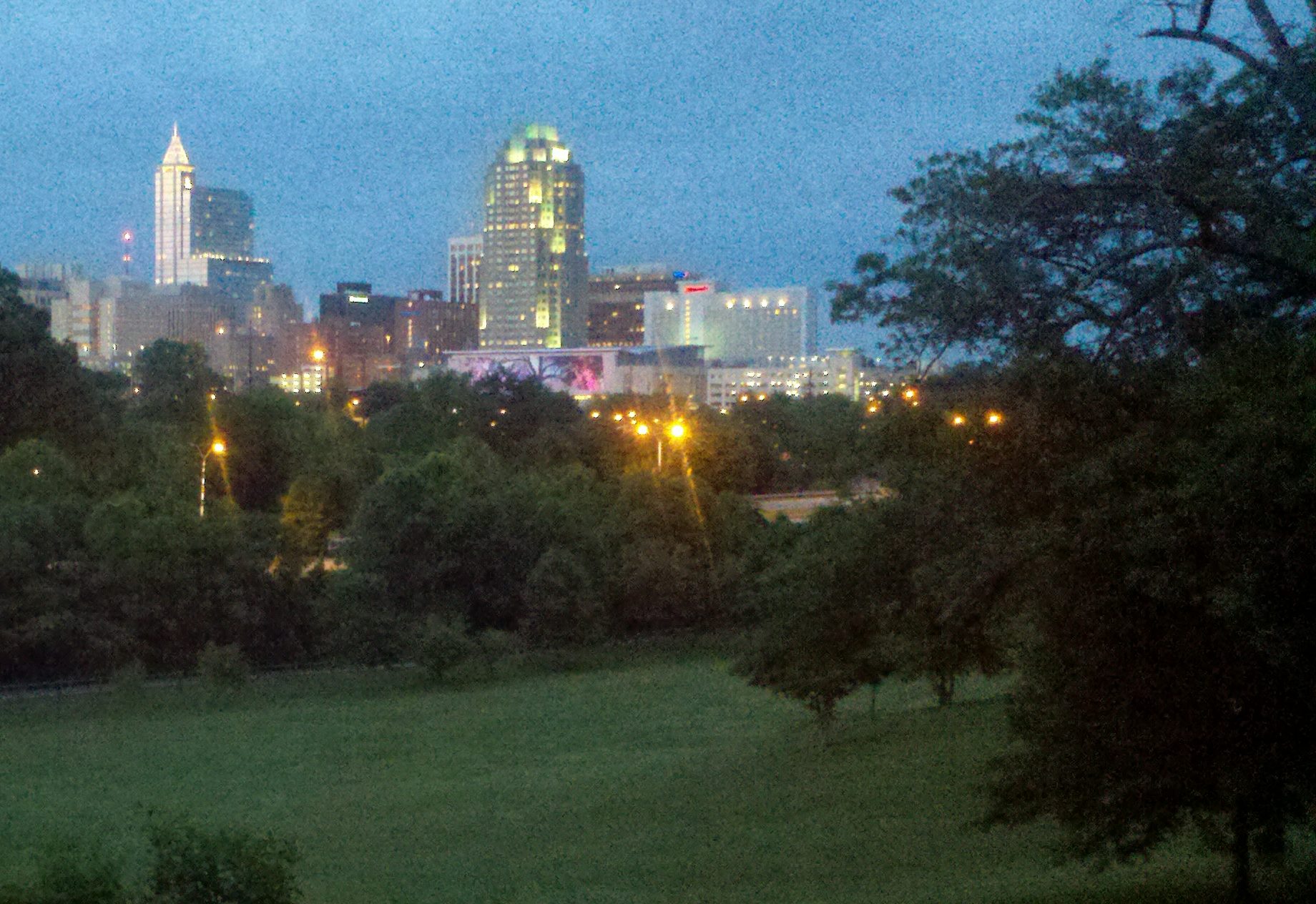
The following illustration show the Private Development plans put forth in the Dec. 2018 Draft Master Plan. These recommendations were changed to “Future Study” in the January update. Thus, while these development plans aren’t enumerated in the final plan they are “being studied” and we must continue to watch for and oppose these private development plans. It is particularly important to prevent private development along the approximately 800 ft deep strip of property along Lake Wheeler Road, because this is the Gateway to Raleigh’s Downtown. The words have changed from the Dec. Draft Master Plan, but the desire to develop has not. Note that the phases have been renamed to numbers and the 4’6 acre parcel shown in Phase C is now slated as a Temporary Parking in Phase Now This next illustration shows all the areas planned for development. This includes parking, buildings and areas being studied for Private Development.
This post contains pictures of the Ridge plan with the buildings annotated with sq foot footprints as well as total estimated sq ft. In addition it shows the original AJ Davis building and what is left of the original building and its sq ft. It also asks you to consider the integrity of the 100,000 sq ft AJ Davis building and if the additional 100,000 sq ft McBride wings should be kept. Do we really need 200,000 sq ft in this building.
These images are from the Master Plan Image of the Meadow / Grate Field currently Here is the plan Image of the Planned Meadow / Grate Field Here is a picture map of the Meadow / Field with annotations Picture map from the Master Plan | Red Annotation by JHuberman
This includes the valley with the Power Plant as well as the Ridge. Photo from the Master Plan | Annotation by JHuberman Where the new Trestle ends in the Great Field the land will need to built up 30 feet.
The grove is the area that needs the least amount of work. A tree plan to plant young trees to grow before the old ones die. Many of the 6″ to 10″ inch trees were planted by a Boylan Heights initiative in 2002, and a Enloe High School project in 2003. Photo from Master Plan | Annotation by JHuberman Here is the Picture Map from the Master Plan. Here is the whole expanded grove from the Master Plan: The Grove p. 204 Master Plan
The creek used to loop out into where the soccer fields are. It was used as a landfill and Rocky Branch was channelized. Restoring the creek will require dealing with the old landfill so you can imagine how many permits and studies that will take. However there is also the possibility that there could be both Federal and State funds to clean it up. Picture from Master Plan | Annotations by JHuberman Here is the Master Plan picture map Picture map from the Master Plan
Phase 1 includes the bike lane along Lake Wheeler Road and the main park entrance with playground, fountain and other stuff that hasn’t been designed in detail yet. Next to it along Lake Wheeler Rd. there is a large field with trees, some benches and a grill. This is one of the parcels the Master Plan labels for future study. Even though it is grassy field they have colored it gray on the plan and in “Phase 1” they label it as “Temporary Parking” Map from the Master Plan | Red annotation by JHuberman One of the Master Plans “Core Values” is “Open Up and Connect”. On page 18 it says, Work with neighboring communities and institutions to maximize local and regional connections to the park Create new physical connections that invite activity at park edges and expand upon existing landscape experiences Improve existing entries and create new ones, welcoming visitors from all directions in as many ways as possible The Lake Wheeler Road park earmarked for “Temporary Parking” This “Future Study”, “Temporary Parking” area is one of the best opportunities to connect Fuller Heights into the park. By locating the Lake Wheeler greenway slightly into this area and plantingRead More
Definition of “Private Development” “Private Development” Includes All the various ways of describing opportunities for a person or corporation to use part of the park for their own private use when that use does not directly support the park visitor. Use of park property that is not open to the public solely to raise revenue to support park purposes.Terminology such as “Value Capture”, “Land Lease”, Park Supporting, and “Revenue Generating Development”, as well as other creative terms that obscure the meaning to the public.Condominiums, rental apartments, business office space and facilities that charge excessive membership or use fees and similar businesses. “Private Development” does not include: The kitchen section of a restaurant or the storage and repair areas of a bicycle rental shop, because the business is open to the public and the private areas directly support the service to the public. Facilities that groups can temporarily rent in ways similar to those rented in other Raleigh Parks like meeting rooms or picnic shelters. Development by private corporations or individuals for public amenities like fountains, play areas, bike paths or stream remediation. “Open and accessible to everyone” includes: ADA compliant access to facilities. Some trails and landscapes may not beRead More